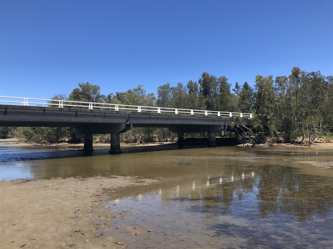
Crooked River - Gerroa

Crooked River flows into the northern end of Seven Mile Beach at Gerroa and is a popular spot for recreational activities including fishing, kayaking, bird watching and picnicking.
River entrance management
Crooked River is categorised as an ‘Intermittently Closed and Open Lake and Lagoon' (ICOLL). It naturally alternates between being open or closed to the ocean, when a sand beach barrier forms at the entrance. This sand barrier is broken down by waves, tides, flood flows and winds which move the sand and sediment. Council continues to monitor Crooked River.
How does it open and close?
An ICOLL will open naturally when there is enough water flowing into the lake or lagoon from the catchment area (usually following heavy rainfall). This will cause water levels in the ICOLL to rise rapidly and spill over the entrance sand barrier, creating a channel.
ICOLLs close when the ocean waves and tides push sand from offshore into the entrance, which gradually closes the entrance channel.
Studies on Crooked River have shown that the amount of time the entrance is closed is around 15%. The time it stays open can range from 1 week to around 5 years, but is typically for a period of several months to more than a year (D Weicek OEH, 2015).
Council policy
Kiama Municipal Council adopted a Policy Position on the management of the Crooked River Entrance in 2005 that says Council will allow the entrance to open naturally, unless under extenuating circumstances. Council manages the Crooked River entrance in accordance with our policy position. The policy position notes that flooding is not an issue for permanent dwellings.
It is generally not recommended to open ICOLLs for water quality reasons, particularly if done when there is not rainfall.
Council's policy position is aligned with Policy and Guidelines for Fish Habitat Conservation and Management 2013 (NSW DPI–Fisheries, 2013), and the NSW Government Department of Primary Industries and Regional Development Fisheries supports maintaining this approach.
It is envisaged that Council’s Crooked River Entrance Policy Position would be reviewed as part of a future Crooked River Coastal Management Plan (CMP), to be prepared under the provisions of the Coastal Management Act 2016.
Location
112 Crooked River Road, GERROA 2534 View Map
-34.7704126,150.8083947
112 Crooked River Road ,
GERROA 2534
112 Crooked River Road ,
GERROA 2534
Crooked River - Gerroa